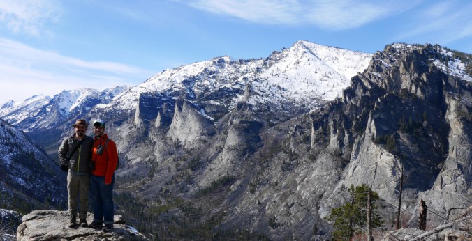
Blodgett Canyon Overlook
Blodget Canyon Overlook Trail, Lolo National Forest, MT
March 26, 2016
Robert Niese
Blodgett Canyon Overlook
Blodget Canyon Overlook Trail, Lolo National Forest, MT
March 26, 2016
Robert Niese
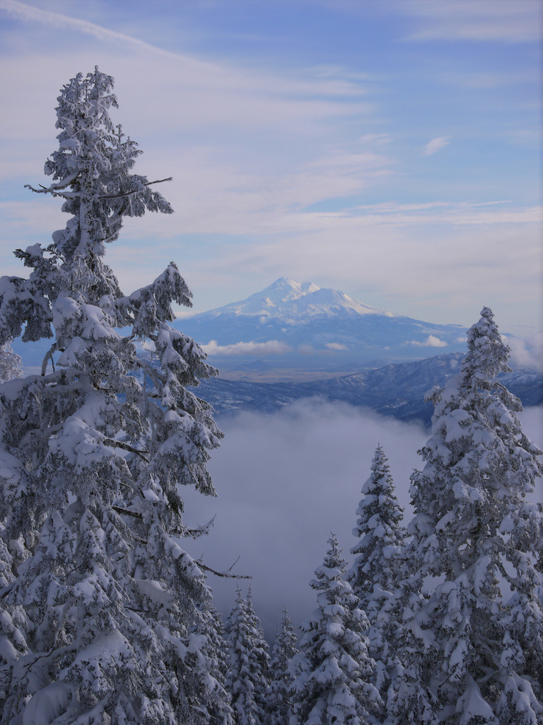
Mt. Shasta from Mt. Ashland
Mt. Ashland, Siskiyou National Forest, OR
December 24, 2012
Robert Niese
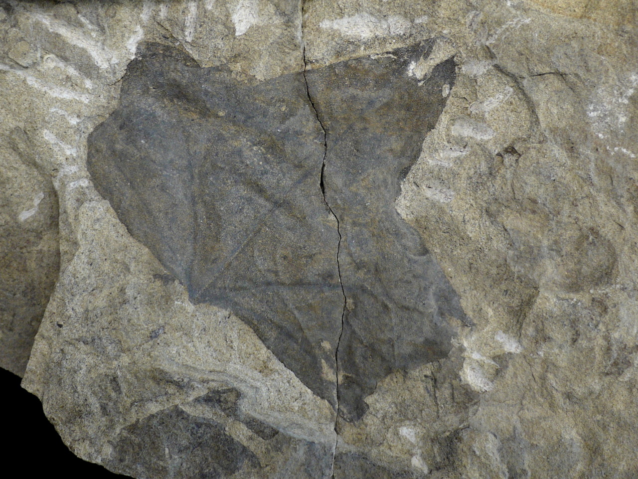
Fossil Maple Leaf, Winthrop Formation
Winthrop, WA
Mid-Cretaceous (110 mya)
Robert Niese
In honor of National Fossil Day, here’s a neat fossil from the Winthrop Formation in north-central Washington. This species looks very similar to modern day maple species, but has yet to be formally identified. This particular fossil formation is rife with beautiful plant specimens. By studying the morphology of these fossil leaves, we can estimate the mean annual temperature of the region 110 million years ago. Using this method, scientists estimate that mid-Cretaceous Washington was almost 12 degrees (˚C) warmer than it is today. (Specimen courtesy of the University of Puget Sound, Geology Department)
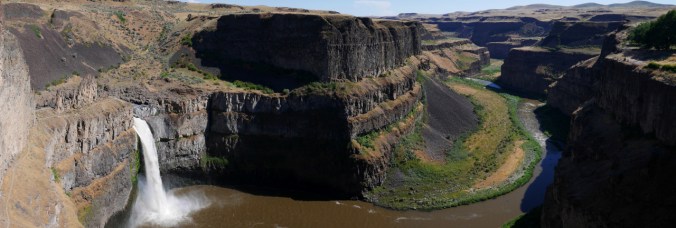
Palouse Falls State Park, WA
June 8, 2015
Robert Niese
The Palouse River and massive floods from Glacial Lake Missoula carved out these beautiful basalt canyons that meander through the Columbia Plateau of eastern Washington.

Sea Stacks at Stawberry Bay
Olympic National Park, WA
June 3, 2013
Robert Niese
Sea Stacks are created as wave action erodes certain rock faster than others along the coastline. Olympic National Park is famous for its sea stacks which come in countless shapes and sizes.
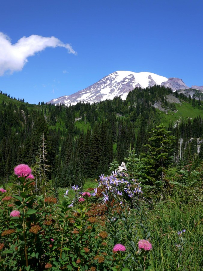
Mount Rainier from Paradise Valley
Fourth Crossing Trail-Paradise Rd E, Mount Rainier National Park, WA
August 12, 2013
Robert Niese
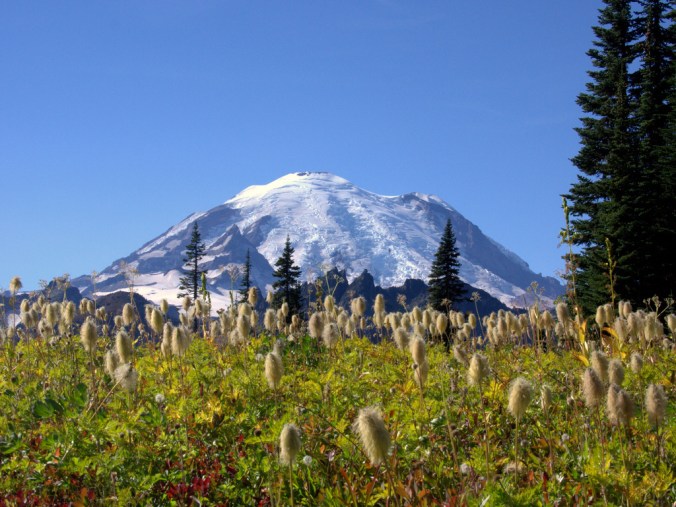
Mount Rainier from Tipsoo Lake
Chinook Pass, Mount Rainier National Park, WA
October 4, 2012
Robert Niese
(Those bushy, Dr. Seuss-like plants scattered throughout the foreground are the fruiting structures of Anemone occidentalis, a common and beautiful montane flower.)

Columnar Basalts (17.4-6 myo), Frenchman Coulee
Vantage, WA
April 7, 2013
Robert Niese
Basalt columns such as these famous and well-climbed basalts outside Vantage, WA, are formed as lava cooled and fractured. Fracture lines form vertical, polygonal columns often known as “organ pipes” or “postpiles” here in the PNW. This landscape was then carved by some of the largest floods North America has ever seen, which roared through the Columbia Basin dozens of times between 1700 and 1500 years ago. These floods were largely caused by an ice dam at the edge of Glacial Lake Missoula which repeatedly broke and re-froze throughout this period.
